
NABETNABET-accredited Category A exploration agency
Ministry of Mines, Govt. of IndiaEmpanelled by the Ministry of Mines, Govt. of India
ISO 9001:2015Certified
Since 2011
Home / Capabilities
Capabilities

Six disciplines, one team

Land, rivers, reservoirs, coast and offshore: surveys, exploration, investigation, interpretation, evaluation and advisory.

01

Marine & coastal

Hydrographic, geophysical and geotechnical work from beaches and ports to the offshore seabed.

  • Hydrographic and oceanographic surveys
  • Nearshore, inshore and port bathymetry
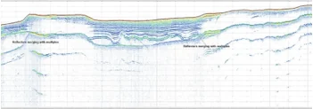
  • Side-scan sonar and sub-bottom profiling
  • Beach profiling with DGPS and Total Station
  • Tide and current observations
  • GIS-supported marine ecological and fisheries studies
  • Offshore drilling and marine geotechnical investigation
Discipline page 43 related projects
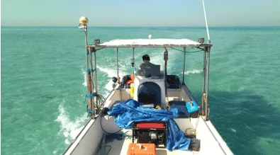
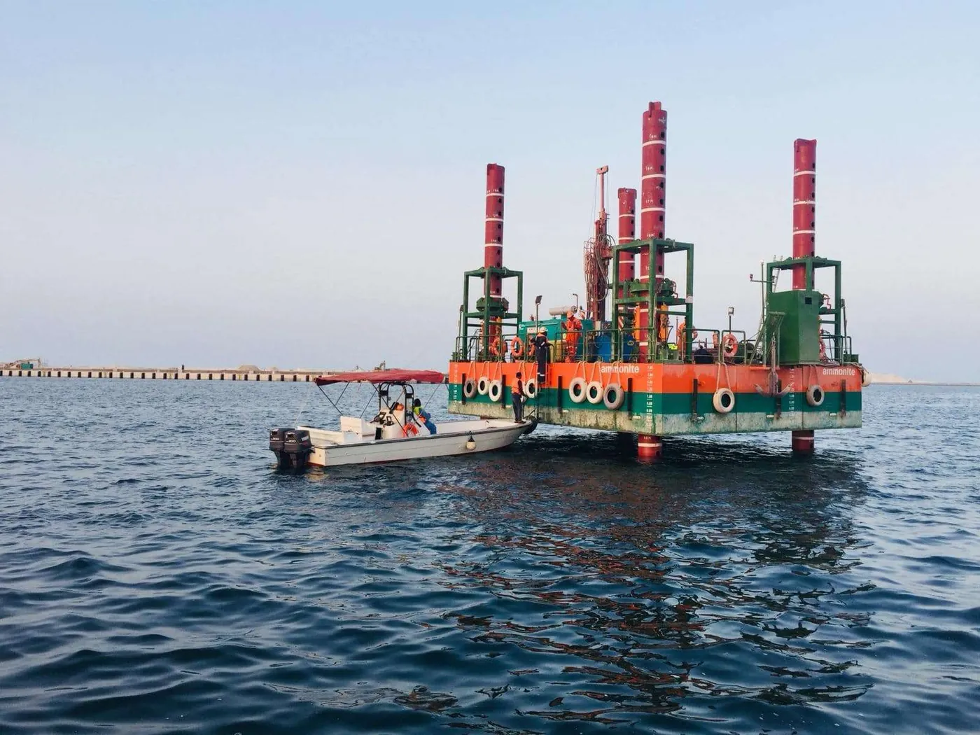
Survey platform at sea
Nearshore survey boat
Sub-bottom profile record
02

Geological & mineral exploration

Reconnaissance to preliminary exploration, field programmes, laboratory work and resource estimation.

  • Geological mapping and topographic surveys
  • G4 to G2 stage mineral exploration
  • Critical minerals: V, Ga, REE, Nb, Zr, Sc, graphite, bauxite
  • Heavy mineral and placer exploration on beaches and dunes
  • Laterite and associated mineral exploration
  • Polymetallic nodules and crusts; offshore limemud
  • Drilling, sampling and mineral-separation studies
Discipline page 40 related projects
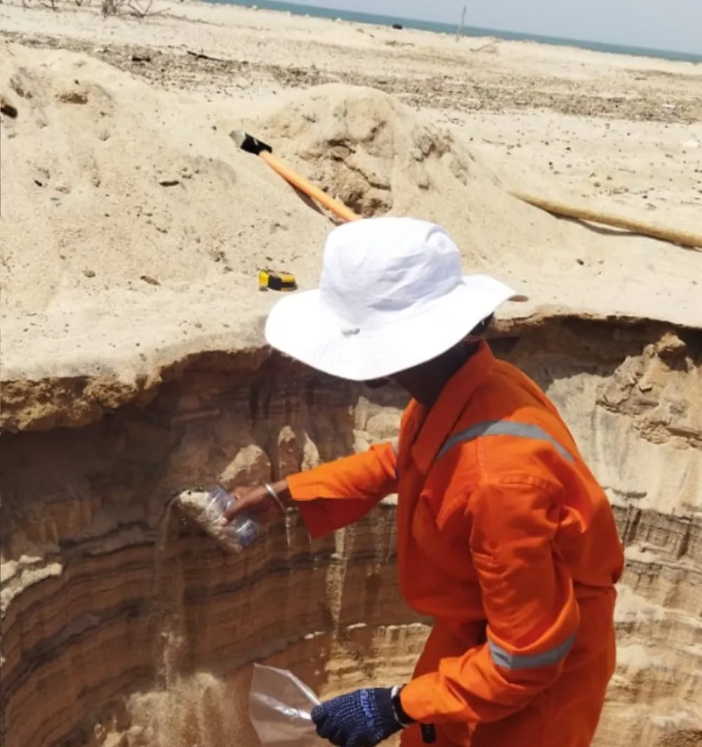
Examining a sand section in the field
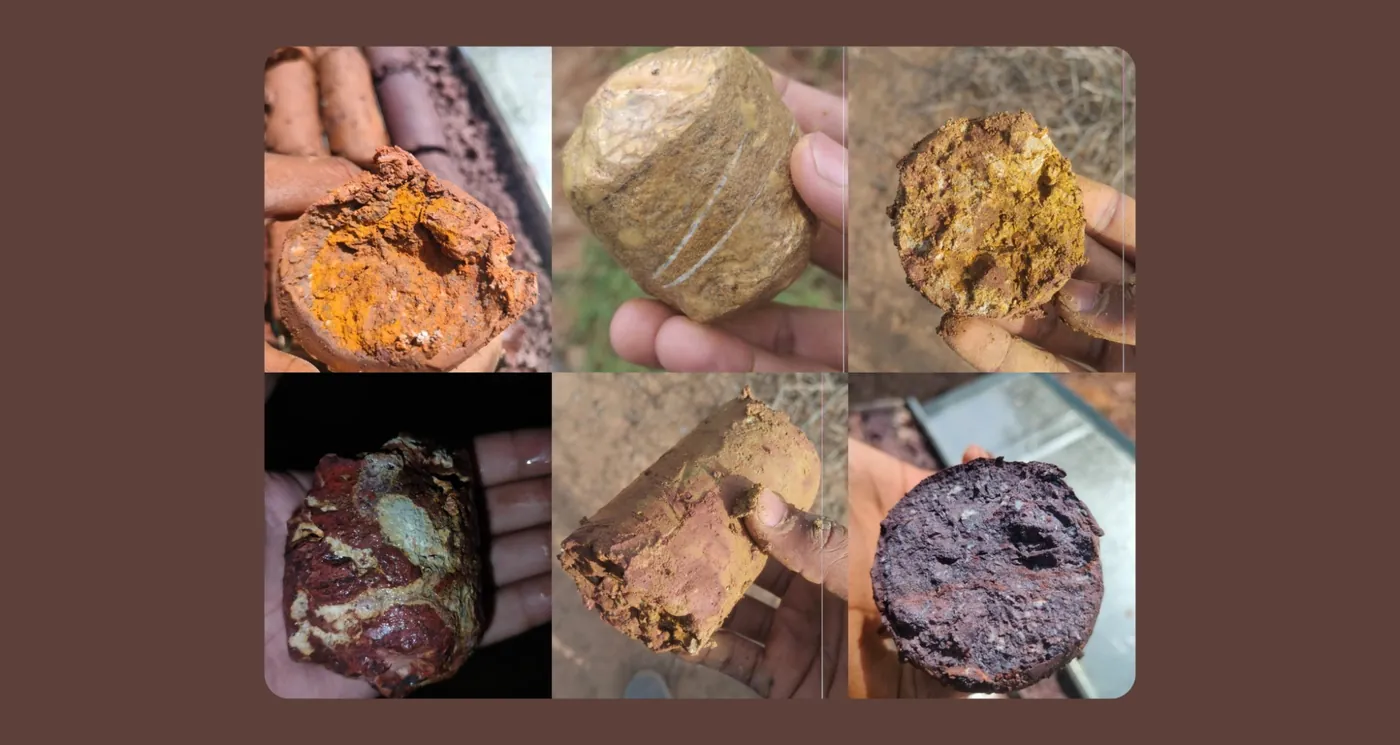
Laterite samples
Low-induced rotary magnetic separator (LIRMS)
03

Hydrographic & inland water

Reservoirs, dams, rivers and lakes: capacity, sediment and the resources they hold.

  • Reservoir bathymetry and storage-capacity assessment
  • Siltation and sedimentation studies
  • River-bed mapping with grid-based sediment sampling
  • Lake bathymetry and carrying-capacity studies
  • Storage–elevation curves and bed contours
  • Sand-resource evaluation in rivers and creeks
  • Groundwater exploration, seawater intrusion and recharge studies
Discipline page 49 related projects
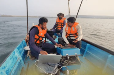
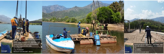
Survey team on a reservoir
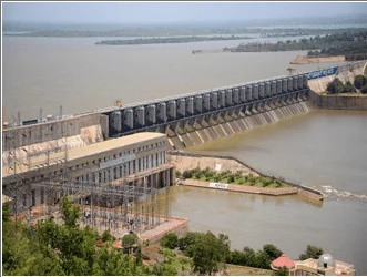
Dam and power house
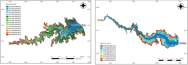
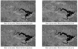
Reservoir bathymetry contour maps
04

Geotechnical & engineering

Subsurface investigation for ports, jetties, breakwaters, dams and urban infrastructure.

  • Marine geotechnical (subsoil) investigation
  • Breakwater and jetty investigations
  • Offshore drilling and vibrocoring
  • SPT drilling in urban areas
  • Exploratory bores and soil classification at dams
  • Landslide-prone area studies on highways
  • Port and harbour surveys: Karwar, New Mangalore, Doha
11 related projects
Drilling from a raft on a reservoir
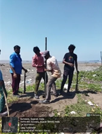
Auger sampling on a beach block
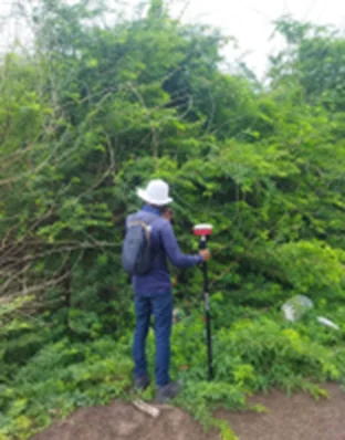
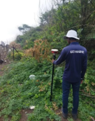
Topographic survey and borehole fixing
05

Geospatial, UAV & remote sensing

Aerial, satellite and ground survey methods that turn terrain into measured volumes.

  • Drone (UAV) surveys and topographic mapping
  • Volume estimation of legacy waste dumps
  • DGPS and Total Station surveys
  • SAR-based reservoir sedimentation assessment
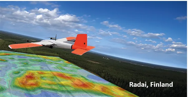
  • UAV magnetic, EM and radiometric surveys with Radai Oy
  • GIS mapping and digital bathymetric charts
12 related projects
UAV magnetic survey with Radai Oy, Finland (collaboration)
SAR imagery of a reservoir
Topographic survey and borehole fixing
06

Resource & mining advisory

Interpretation, evaluation and technical advice that carries survey data through to decisions.

  • Strategic due diligence and mining strategy
  • Offshore block selection and auction support
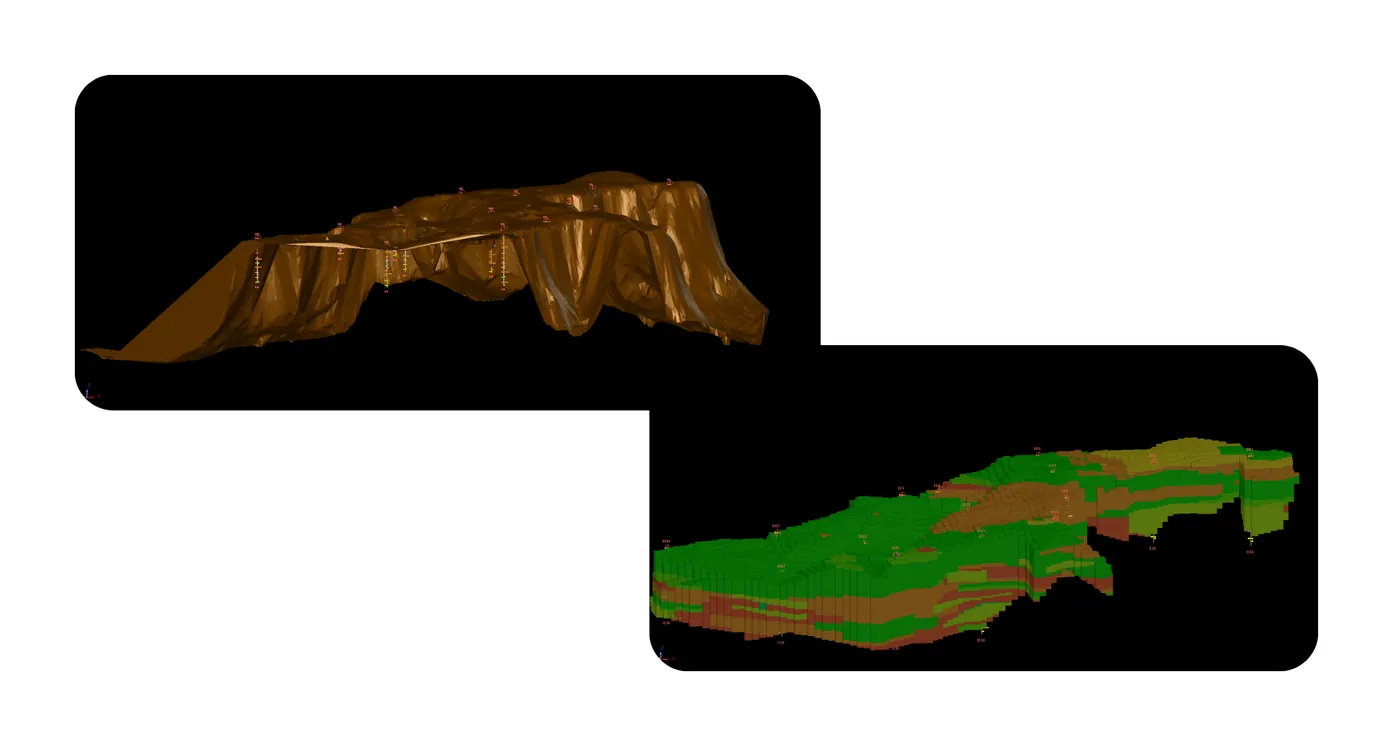
  • 3D geological modelling and resource estimation
  • Scoping studies on dredge mining and metal extraction
  • Technical consultancy on offshore mineral rules (OAMDRA)
  • AI-based predictive exploration modelling
17 related projects
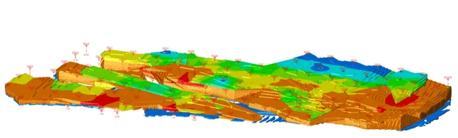
3D resource model
3D geological block models
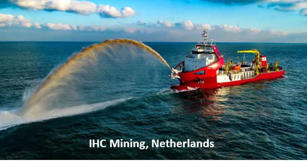
Royal IHC dredger, Netherlands (collaboration)
From data to decision

Survey data is the start. The decision is the product.

Geo Marine Solutions carries a programme from survey through interpretation to resource assessment and advice. Every step below is backed by work in the portfolio.

Survey

Planning the programme: choosing methods, blocks and survey lines for the environment and the question.

From the portfolio

Offshore limemud block selection for the 2024 auction.

Open this project
Get in touch

Bring us the terrain and the question

Tell us about the site, environment or resource. We will come back with a proposed approach.

Send your query

This opens your email app with the message addressed to oed@geomarinesolutions.in.