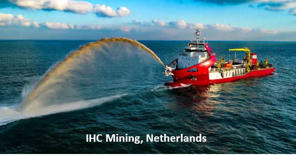
IHC Mining, Netherlands
Together with Geo Marine, a complete solution in offshore mineral exploration, mining and mineral beneficiation. royalihc.com/mining
 NABET-accredited Category A exploration agency
 Empanelled by the Ministry of Mines, Govt. of India
Each tile counts the projects whose titles name the method. No specifications are quoted beyond what the record states.
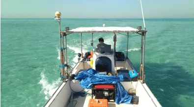
Single-beam, dual-frequency echo sounding for reservoirs, rivers, lakes, ports and nearshore waters.
39 projectsSeabed imaging for port development and shallow-water surveys off the Tamil Nadu coast.
3 projectsSub-surface imaging for offshore sand supply in Qatar and port development at Karwar.
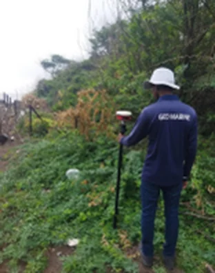
2 projectsBeach profiles, reservoir topography and mine-block topographic surveys.
4 projectsTopographic mapping, reservoir storage volumes and legacy-waste volume estimation. UAV magnetic, EM and radiometric surveys with Radai Oy.
11 projectsSynthetic-aperture radar for reservoir sedimentation assessment, for the Central Water Commission.
1 projectOrebody and sediment-body modelling with resource and reserve estimation.
2 projectsAuger, SPT and offshore drilling, exploratory bores, vibrocoring and sediment coring.
6 projectsGrab and grid-based sampling, granulometry, sample processing and mineral separation by magnetic and gravity methods.
6 projectsMarine geophysical and magnetic data interpretation for exploration and ground investigation.
7 projectsGIS-supported fisheries mapping and digitisation of bathymetric charts and maps.
3 projectsPredictive modelling for base metals and lithium, with ZIRAAF International, Dubai.
1 projectTogether with Geo Marine, a complete solution in offshore mineral exploration, mining and mineral beneficiation. royalihc.com/mining
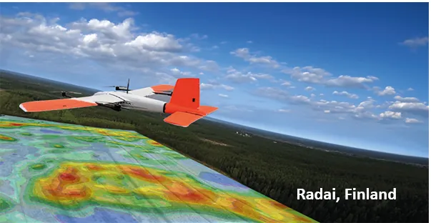
UAV-based magnetic, electromagnetic and radiometric surveys for mineral exploration. radai.fi
Tell us about the site, environment or resource. We will come back with a proposed approach.